Aircraft Alerts
Configured in
Settings → Aircraft alerts
About Aircraft Enforcement
Aircraft speed enforcement (also known as "aircraft VASCAR") is used in several countries.
The main idea of aircraft speed enforcement is measuring how long it takes for a vehicle to drive a predefined distance – usually 1/2 or 1/4 mile. The time is entered into a VASCAR computer which calculates the average speed on the segment. Older VASCAR computers require road markings painted every 1/2 mile or every 1/4 mile – you can see examples of such markings on Google Maps – they're located on the outer side of the road at the marked points along the route. Modern VASCAR systems don't need these markings and can clock any vehicle anywhere.
You can see some examples of the aircraft enforcement at 1, 2, 3, 4, 5.
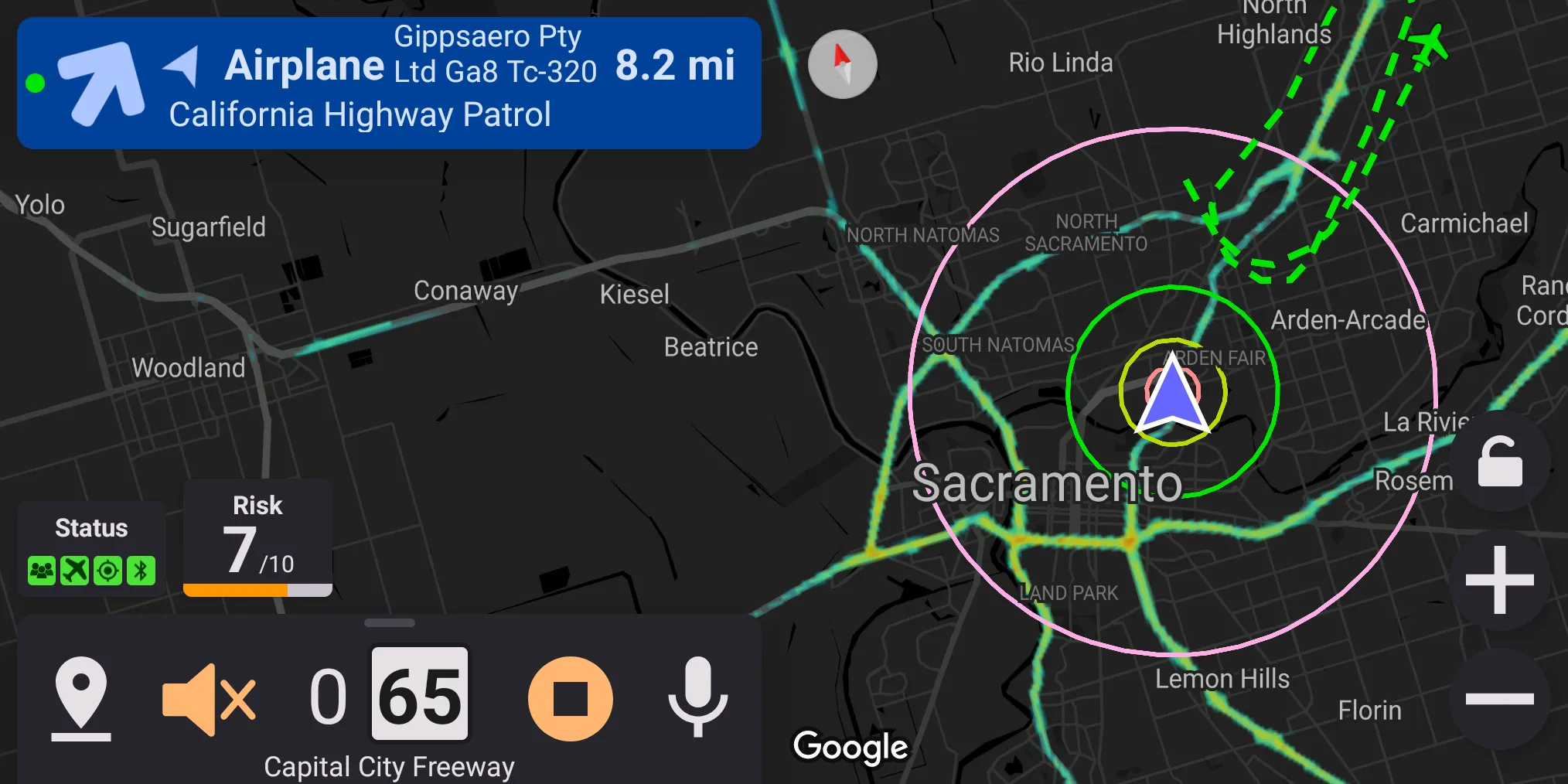
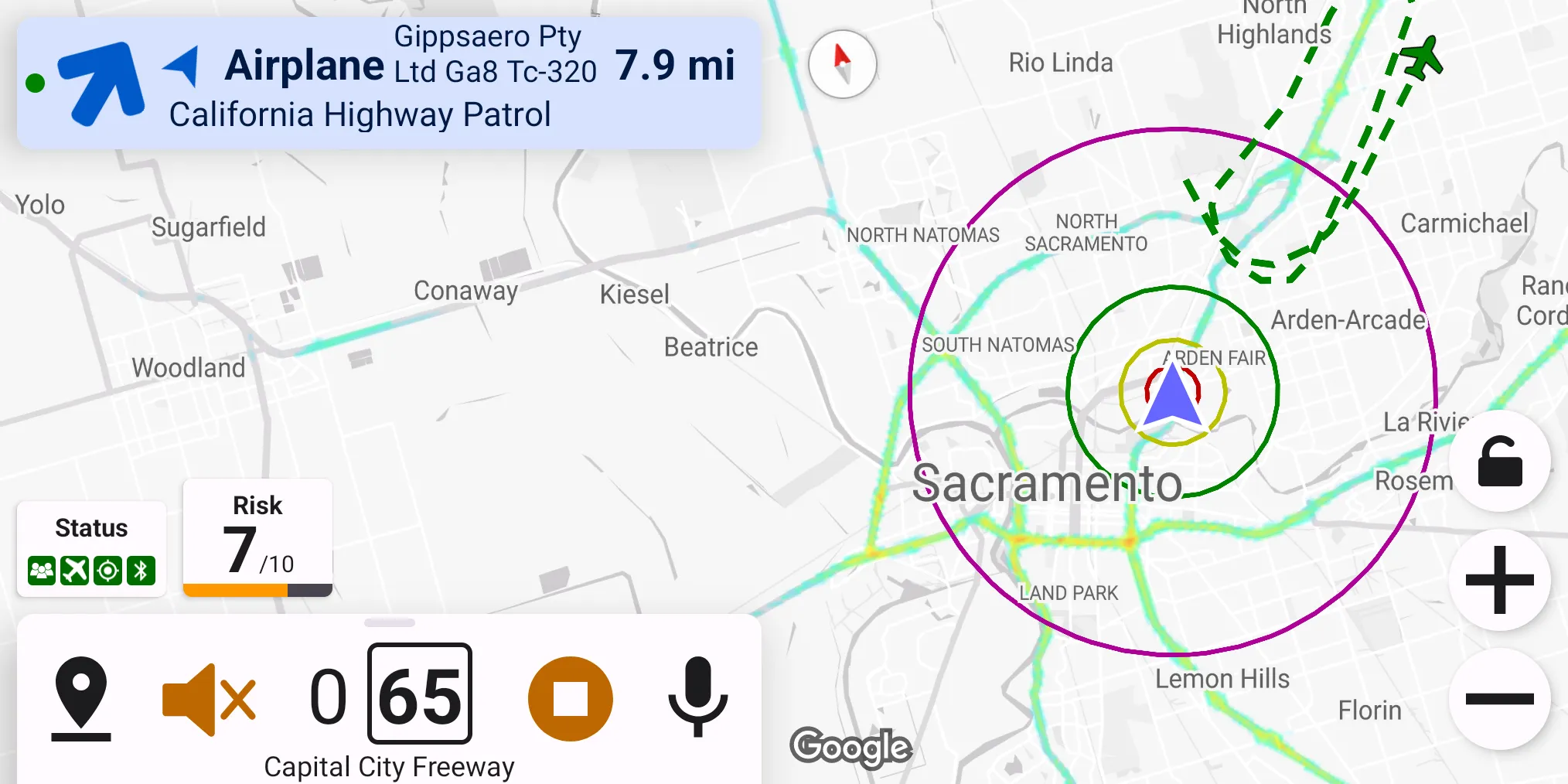
Highway Radar can help with avoiding aircraft speed enforcement by notifying the driver about potentially enforcement aircraft nearby. Highway Radar pulls data from very similar sources as FlightRadar24 and FlightAware.
Getting Aircraft Data
Nearly every aircraft in the sky is equipped with a so-called ADS-B out transmitter. It constantly transmits the aircraft's callsign, position, speed, altitude, and a lot of other valuable data. ADS-B significantly helps with air traffic control and collision avoidance. ADS-B data is unencrypted and can be received by anyone. There are many enthusiasts throughout the world maintaining ADS-B receivers and sharing their data. ADS-B data are then fed into exchange networks. Examples of such networks are ADSBExchange and OpenSky network – they accept the raw ADS-B data from enthusiasts and share data from other ADS-B receivers across the world with them. Highway Radar can get real-time air traffic data across the world from these ADS-B exchange networks.
Highway Radar connects to several exchange networks and fetches all air traffic data in a 20-miles circle radius around the driver. If several networks report the same aircraft (happens most of the time), the network with the most recent information is used as a ground truth. Also, it is crucial to understand that while ADS-B exchange networks have extensive coverage, they don't cover 100% of the earth. These networks are driven by enthusiasts hosting receivers (also called "feeders") at home, so the data is only available from places with these enthusiasts. All of the major cities are covered; however, some rural areas may not have any coverage. ADSB-exchange has their map of feeders available. If you want to ensure coverage for your area, you can start feeding ADS-B data as well – use this page as a starting point. The cost of a minimal kit for receiving and feeding ADS-B data costs around $100.
Aircraft Matching And Filtering
Once Highway Radar gets air traffic above the driver, it matches the callsigns against various databases (such as government databases, or crowd-sourced ones like OpenSky aircraft database). There is no public "list of all enforcement aircraft," so Highway Radar needs to guess which aircraft may do enforcement.
- Some aircraft can be ruled out pretty quickly – for example, if this is a Boeing 747, Airbus A320, or any other passenger jet owned by an airline, it definitely won't do speed enforcement. Also, if we're getting a signal from an air balloon or a glider, we can also rule it out. Highway Radar names these types of aircraft safe and never makes alerts with them active. Also, in alerts, they are prefixed with "(S)."
- Other aircraft can be definitely matched with some enforcement agency – for example, an aircraft owned by "Washington State Patrol" or "Los Angeles Police Department" would pose a threat. Highway Radar names them suspicious. = However, some aircraft can't be positively identified as safe or suspicious – we don't have any rules on how to determine whether it is safe or not automatically. These aircraft are named unknown. Also, in alerts, they are prefixed with "(?)".
Highway Radar can be configured to alert on different types of aircraft differently. Preference Choose which aircraft to show is responsible for this. In the options for this preference, the "proximity" means "at a distance when the aircraft alert becomes active (non-gray)."
Several other preferences are allowing to reduce the number of alerts further
Show unknown aircraft– this preference controls whether the application should display aircraft for which there is no available information at all, where we only know that "There is something in the sky at this location." In some areas, military aircraft can cause much noise by reporting nothing except position – this preference allows to hide that signals.Show foreign aircraft– this preference allows hiding aircraft positioned in a country other than their registration. I'm not aware of any enforcement agency using aircraft registered in different countries.Show grounded aircraft– self-explanatory
Aircraft Categories
Highway Radar classifies all aircraft into three categories – airplanes, helicopters, and unknown (named just aircraft in alerts). The Aircraft categories to show preference controls which of them are displayed. Please note that aircraft with the unknown category are always displayed, regardless of this preference.
Alerting Sensitivity
Highway Radar can have different levels of alerting sensitivity for the aircraft. This preference is explained in the Aircraft Severity section.
Aircraft Presentation
Several preferences control how an aircraft can be presented to the driver.
Show aircraft icons on map– controls whether an aircraft icon should be overlayed over the map.Show map labels– controls whether a label with basic aircraft info should be added next to the map icon.Show aircraft traces– controls whether to show a 5-minute trail of the aircraft positions.Zoom out map on active aircraft alert– when enabled and an active unmuted aircraft alert is presented, the map is zoomed out to fit the aircraft. To return the zoom to normal, you can mute the aircraft alert.Show aircraft tail numbers– when enabled, an aircraft tail number (also known as "registration number") is added to the map label and alert alert badge.